
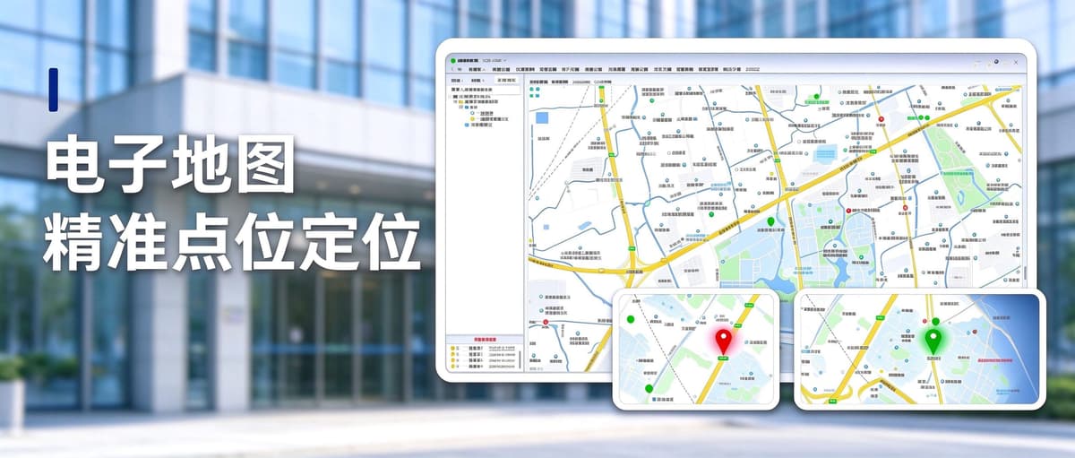
The Dihu One-Click Alarm System features an electronic map with precise location tracking, which assists duty personnel in quickly identifying the location of alarms.
I. Support for various base map materials, suitable for different project sites
The Dihu One-Click Alarm Platform comes with an electronic map feature that supports the import of various types of base map materials, including offline map packages, real-time site images, and building floor plans. Projects can choose the appropriate base map based on site conditions and management needs, ensuring that the map interface matches the actual layout of the site and adapting to the deployment environment of different types of projects.
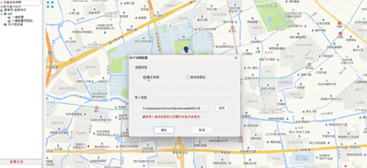
II. Pre-binding of locations during the deployment phase, with details down to buildings, floors, and rooms
During the system deployment phase, administrators can pre-bind the alarm terminals within the platform to their corresponding physical locations. Location markings can be refined layer by layer, from buildings to floors, and then to specific rooms, achieving precise location tracking. Once the bindings are completed, a direct correspondence between the terminals and their locations is established within the platform, allowing for immediate localization of the alarm when it is triggered.
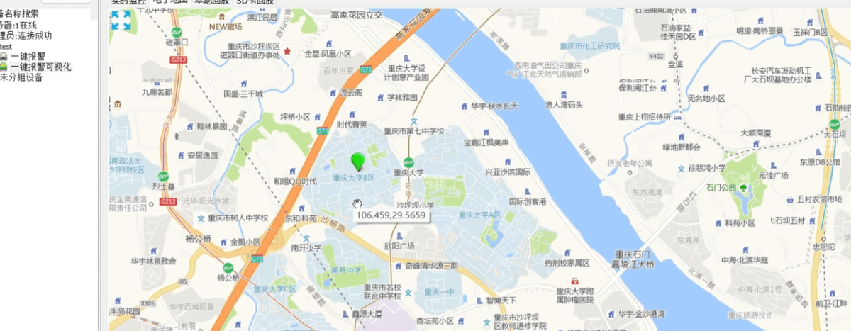
III. Automatic focus and highlighting of alarm locations upon trigger
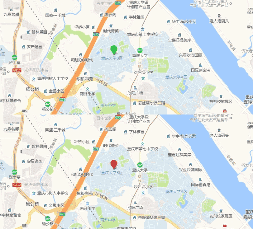
After an alarm is triggered at the site, the platform's electronic map will automatically focus and locate to the position of the alarm terminal. The alarm location is indicated by an icon that flashes alternately between red and green lights, clearly distinguishing it from the icons of normally online terminals. This enables duty personnel to instantly identify the location of the alarm on the map without the need for manual inspection.
IV. Application value and suitable scenarios
The electronic map location tracking function correlates alarm events with specific physical locations, providing duty personnel with an intuitive reference to the location when an alarm occurs, facilitating quick judgment of the incident area and organization of subsequent responses. Combined with subsequent communication and recording processes, it makes the emergency response process clearer and more traceable. This feature is mainly suitable for locations that require management by building, floor, and room, such as industrial parks, office buildings, schools, factories, and commercial complexes.